This app displays GPS logs on a map. GPS logs must be acquired in advance using another device.
This app supports GPX (a format supported by many GPS loggers, including Garmin) and KML (the file format used by Google Earth). However, we have confirmed that KML format files may not load correctly. (It seems that the recorded route may be saved as location information or as a simple line.)
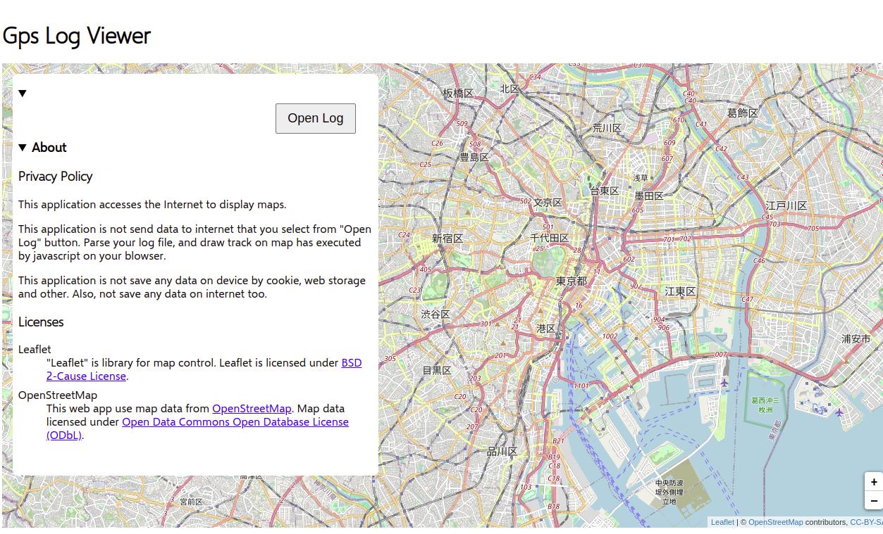
When you open the app, the first thing you'll see is a map. The default display location is (E135, N35), which is the standard location for Japanese time.
Press the "Open Log" button to select the log file to load. On a desktop PC, the OS's standard file open dialog will be displayed. On an Android smartphone, the "file picker" provided by the device will open.
Note: The file selected here will be analyzed and displayed in the browser, and will not be sent to InfoClishnA's web server. (If file operations are verified by security software, the loaded file may be sent to the security software's server.)
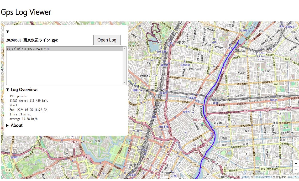
When you open a GPX log, it may contain multiple logs. You can select one of them to display on the map. Besides showing the route on the map, the total distance, recording time and average speed are displayed.
Currently the start time of the recording is not displayed, but this is a bug. I plan to fix this in the future.
This app uses several open source software. These licenses are as follows: